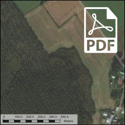
Creating To-Scale PDFs from Map Views
In Release 2016-10-25 we added the possibility to create to-scale PDF documents from Map Views. This allows you to generate to-scale printouts from Map Views.
How to grant permission to create features
Redbex allows you to exactly specify who (the subject – user or user group) can create features of which feature-type in what domain. This is accomplished by combined privileges i.e. the subject (user or user […]
Defining projected coordinate systems
Redbex allows to define nearly any projected coordinate system and can of course transform data between all projected coordinate systems. This post shows how you can define your own projected coordinate systems.
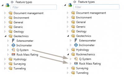
Organizing feature types
See how you can re-organize feature types to fit your organizations specific needs
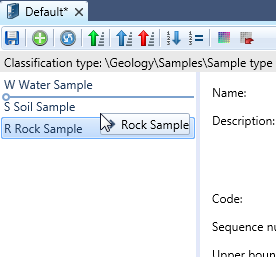
Enhancements to the Classification Elements Editor
In Version 1.38.16210.16249 (Priest R5) the Classification Elements Editor of the Redbex Smart Client was enhanced to help you creating and managing classification elements more effectively.
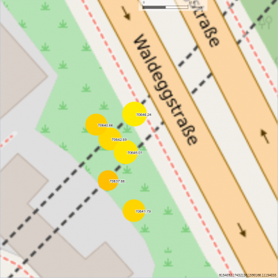
Introducing map view Observation property – Midpoint layer
Using the "Observation property - Midpoint" layer Redbex can show the values of observations on a map using text, color and size.
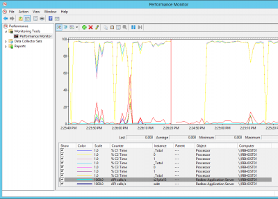
Application Server Monitoring with Windows Perfmon
Some important performance indicators of the Redbex Application Server can be monitored using the Windows perfmon utility. This post shows how you can configure perfmon to keep an eye on your Application Servers' performance.
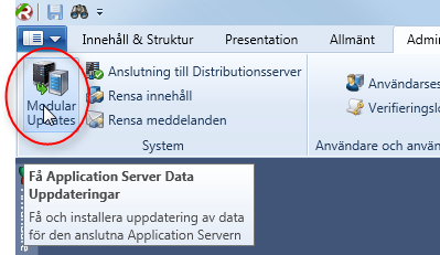
Modular Updates
Some parts of the Redbex Application Server can be updated without actually installing a new version of the Redbex Application Server. This gives us the ability to update things without forcing you to do a lot of maintenance work and without forcing you to take the Application Server offline for an update.
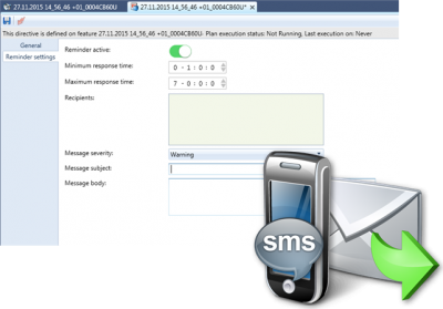
Understanding observation plan reminder setting
With Observation Planning Redbex provides a mighty tool for comparing planned observations with the actual observations recorded i.e. the monitoring plan with the actual performed measurements. This can be used to compare actual monitoring work […]
